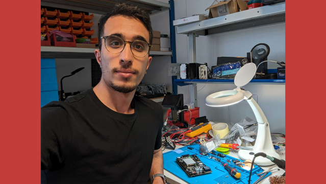
Focus on collaborator: Belaid Ben-Lalli
07.21.23
Proud to introduce our young engineer in electronics, IT and telecoms development. It all started for Belaid with an internship...
Read more


Geoflex has demonstrated its centimetric positioning solution in a world premiere in Brazzaville, Republic of Congo on July 8th 2021, at the national Stadium Alphonse Massamba-Debat. The demonstration used a dual frequency GNSS chipset receiving both the signals from GPS and Galileo satellites and the Geoflex corrections service sent from the Nigerian NIGCOMSAT-1R satellite through the L Band of this satellite, a frequency that is directly received by the GNSS chipset without any cellular connectivity.
Thanks to the Geoflex corrections, the accuracy of the position from the GPS/Galileo chipset improves from 3-10 meters to centimetric level, namely 5 cm (East), 6.1 cm (North) and 14.4 cm (Up) with 68% confidence level. To show the improved accuracy, the demonstration device followed the marking of the football stadium.
Geoflex’s service has been available since 2018 as a subscription via the internet. However, this demonstration of reception through the L Band of NIGCOMSAT-1R removes the need of an additional telecom link, allowing precise positioning wherever the satellite signal is broadcast: i.e. Africa and Indian Ocean.
This demonstration has been funded by ASECNA (Agence pour la Sécurité de la Navigation Aérienne en Afrique et à Madagascar), and has been technically developed in partnership with Thales Alenia Space, NIGCOMSAT and CNES (Centre National d’Etudes Spatiales).
Centimetric Precision, Continent-wide effects
Centimeter level positioning is used in many applications currently participating in the economic development of the whole African continent. Examples of applications include:
– Mapping & Surveying – precise positioning for maps and cadaster development.
– Construction & Civil Engineering – infrastructure and civil works such as road and bridges development require precise positioning.
– Agriculture – High precision positioning is a key enabler of automated guiding and auto steering of tractors but also for tasks such as seeding, spraying and spreading.
– Mining – Precise remote surveying of mining site with drones, precise, real-time positioning of mining vehicles and machinery.
– Oil & Gas – Monitoring of offshore oil rig platforms with centimeter accuracy
– Maritime – maritime and river works such as dragging and port construction.
– Railways – accurate and robust positioning of trains on their exact track allows safe operations while maintaining signaling infrastructure to a minimum for low cost of operation.
Before Geoflex, reaching centimetric positioning required the setup of a complex infrastructure known as RTK stations, a system that is costly and lacks scalability. In comparison, the PPP technology, developed by CNES and industrialized by Geoflex, offers simplicity and a much lower cost of operation, especially when corrections are received via L band, eliminating both the cost of a cellular link for data and reliability issues in areas with sparse or no cellular coverage.
“This demonstration is an open call to satellite communication providers in other parts of the world,“ said Romain Legros, CEO of Geoflex. “Our cutting edge technology works perfectly through the L band as demonstrated in the field. We are open for business to make it happen with partners all over the world.“
Following the demonstration of the technology, ASECNA is hosting a seminar in Brazzaville on July 8th-9th gathering stakeholders in different market verticals: aviation, agriculture, maritime, surveying & mapping.
Proud to introduce our young engineer in electronics, IT and telecoms development. It all started for Belaid with an internship...
Read more
Romain Legros, CEO de Geoflex spoke at the round table dedicated to the market of mobility.
Read more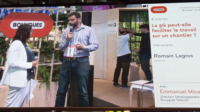
Romain Legros, CEO of Geoflex, spoke at the round table dedicated to the work: Can 5G make work on a construction site easier?
Read more