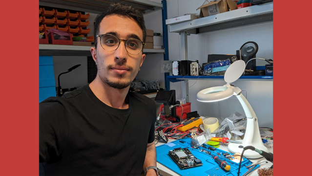
Focus on collaborator: Belaid Ben-Lalli
07.21.23
Proud to introduce our young engineer in electronics, IT and telecoms development. It all started for Belaid with an internship...
Read more


Satellite imagery and analytics meets centimetric positioning, telecom and cloud services
Airbus Intelligence, Orange Business Services and Geoflex are working in a closed collaboration to provide geo-intelligence services.
The purpose of the collaboration is to deliver innovative, value-added services, mixing telecom and cloud services, high resolution and refreshed earth observation data, and very precise and reliable GPS/GNSS positioning of smartphones, vehicles, and assets.
The ultimate goal of the partnership is to build an up-to-date digital twin of the reality on the cloud to help companies better drive their field activities.
The partnership between the three companies started with a first innovation demonstrated in January 2020 at the CES trade show in the streets of Las Vegas.
This prototype focused on the precise positioning of a ride hailing vehicle and its client’s smartphone to augment the success rate of pick up in a typical on-demand, Mobility-as-a-Service scenario, where, according to industry data, one out of five pick-up are delayed or uncompleted as customers do not find their ride.
This innovation was displayed on a mobile app using Airbus high resolution satellite imagery (30 cm pixel resolution) and Geoflex’s sub meter GNSS positioning service, the whole solution powered by Orange’s cloud service (watch the video below).
The three partners are currently working with potential customers of their combined offering.
Proud to introduce our young engineer in electronics, IT and telecoms development. It all started for Belaid with an internship...
Read more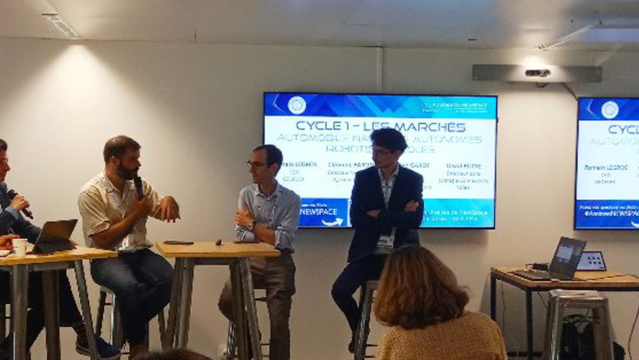
Romain Legros, CEO de Geoflex spoke at the round table dedicated to the market of mobility.
Read more
Romain Legros, CEO of Geoflex, spoke at the round table dedicated to the work: Can 5G make work on a construction site easier?
Read more