Precision Navigation from ADAS to Autonomy
The automotive industry is undergoing profound transformation, from electrification to full autonomy reshaping not only how vehicles are powered but also how they perceive and interact with their environment.
While fully autonomous vehicles are still in development,first Level 4 Robotaxis and Advanced Driver Assistance Systems (ADAS) Level 3 cars are already on the road. These include lane-level navigation, conditional “eyes-off” driving ADAS, and new mobility services such as ride-hailing and car sharing.
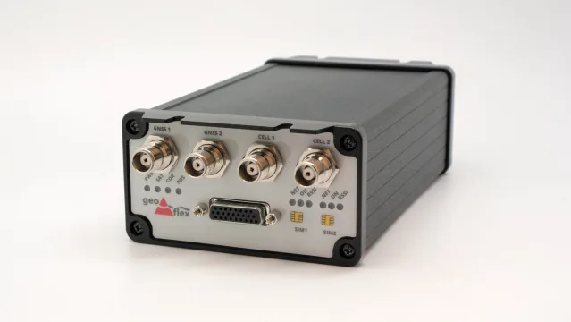
What ties them together? Accurate, real-time positioning. And that’s precisely where Geoflex brings value, bridging the gap between traditional GNSS and the hypergeolocation needed for safety-critical and user-enhancing features.
Beyond safety, location-based services like ride-sharing, real-time parking, and vehicle sharing also benefit from sub-meter location accuracy, improving user experience and fleet operations.
Lane-Level Navigation & ADAS: Paving the Way to Autonomy
Next-generation navigation systems can now assist drivers with precise lane guidance, helping them safely change lanes based on real-time GNSS position and route information.
As vehicles become increasingly automated (Level 3 and beyond), Human-Machine Interfaces (HMI) will evolve too, offering real-time visualizations of vehicle maneuvers, improving trust in autonomous modes, and reducing user anxiety.
This evolution relies on precise positioning, which is also crucial for key ADAS features such as:
- Lane centering and lane departure warning
- Lane change assistance
- Intelligent Speed Assistance (ISA)
- Adaptive cruise control with HD map support
High-Accuracy GNSS & Sensor Fusion for Robust Vehicle Positioning
Historically, GNSS has been underused in automotive due to perceived inaccuracy. Instead, OEMs relied on:
- Cameras (mono, stereo)
- Radar, lidar, ultrasonic sensors
- Inertial Measurement Units (IMU), odometers
Geoflex changes this equation: using correction data from Geoflex, GNSS errors are reduced to deliver decimeter to centimeter accuracy, depending on requirements without costly infrastructure.
In addition, Geoflex’s positioning engine fuses GNSS with embedded sensors (IMU, odometry, steering angle) or with perception systems (radar, lidar, cameras), creating a robust hybrid localization system.
This approach significantly enhances performance in GNSS-challenged environments like urban canyons, tunnels, or underpasses where satellite signals may be weak or intermittent.
Combined with HD maps, this positioning system provides redundancy and range, enhancing situational awareness and safety for L3–L5 autonomous vehicles.
Geoflex solutions integrate seamlessly into IVI systems, ADAS ECUs, or autonomous driving stacks, and are ready for both cloud and edge deployments.
Key Benefits
Centimeter-Level Accuracy Worldwide
No local or regional infrastructure needed
Sensor Fusion Ready
GNSS + IMU + perception for robust localization
Works in All Conditions
Night, rain, snow, tunnels, and urban canyons
Lane-Level Precision
Unlocks advanced ADAS and safety systems


