Precise positioning for Smart Agriculture
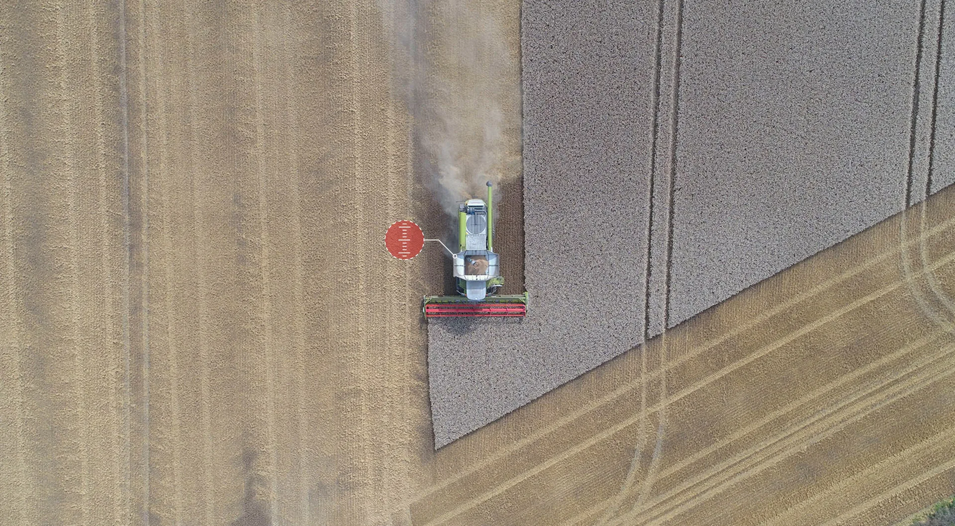
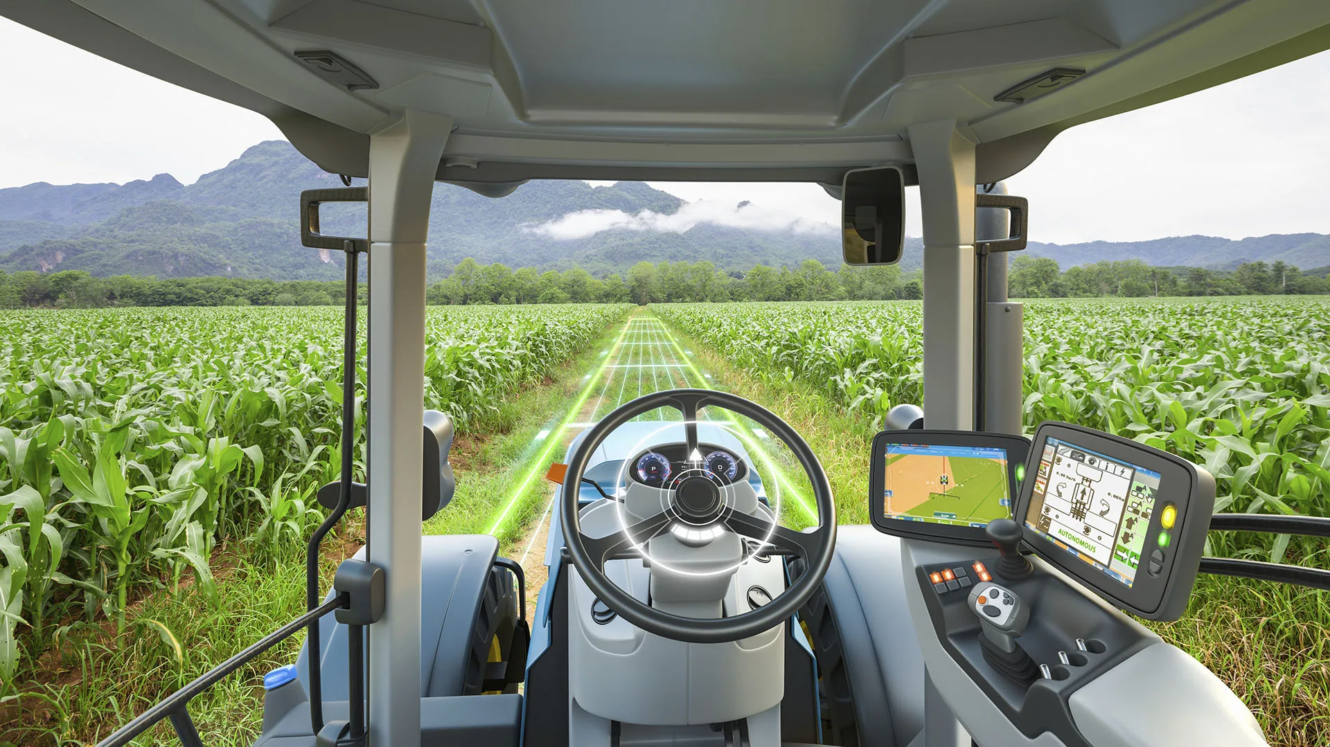
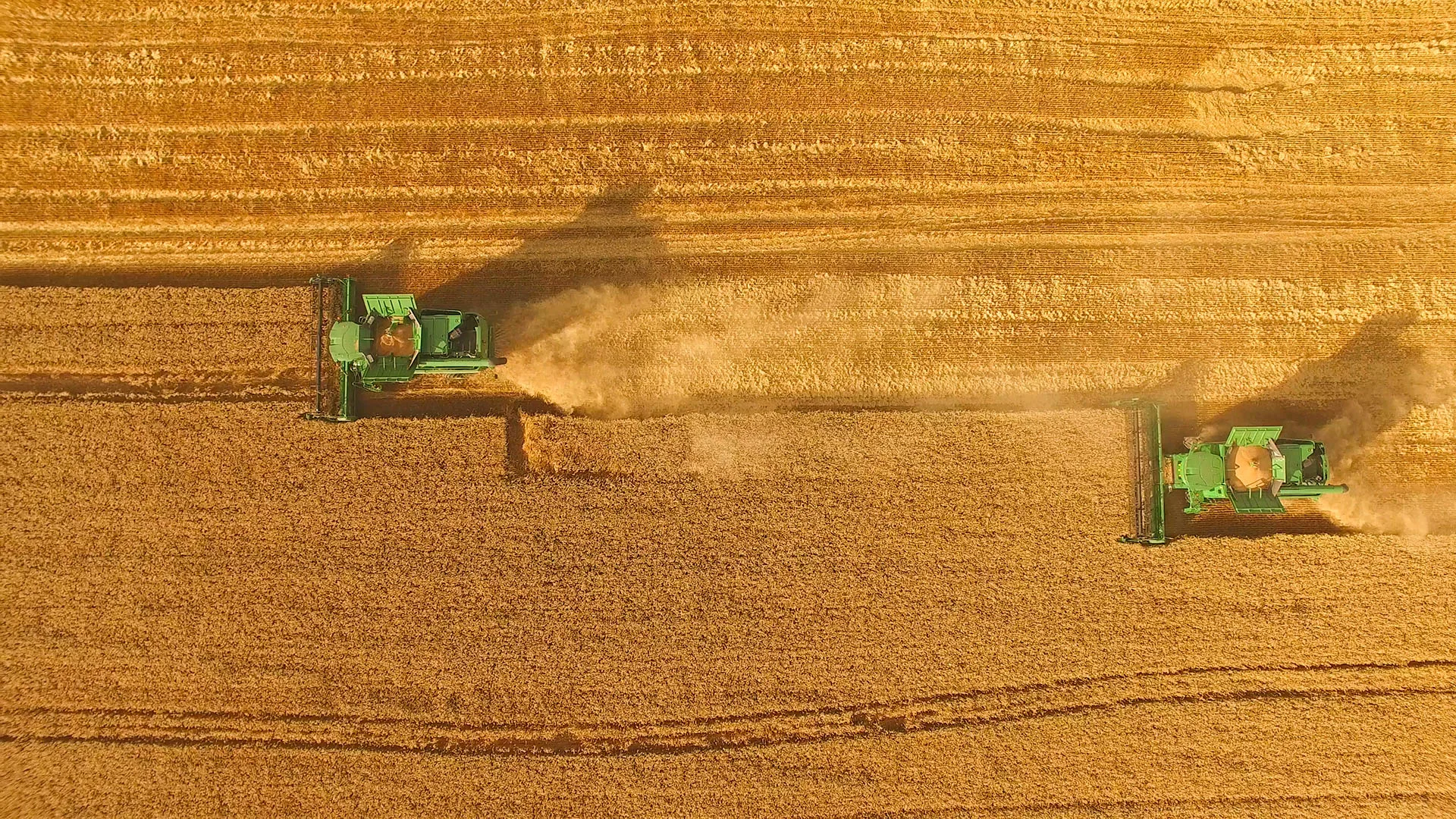
From auto-steering tractors to autonomous drones and harvest robots, high-precision GNSS positioning has become an essential enabler of modern agriculture.It is the key to reduce Chemical Use & Environmental Impact by enabling precise mechanical weeding. Over the past 20 years, self-driving tractors have moved from experimental to mainstream, with millions of farmers now relying on them daily.
Precision is no longer limited to navigation. Today, accurate GNSS positioning supports a wide range of smart farming operations: seeding, spraying, spreading, and crop monitoring, all of which demand centimeter-level accuracy, repeatability, and reliability.
In parallel, the rise of agricultural robotics and UAVs has further accelerated the need for robust positioning. Observation drones equipped with multispectral sensors, spraying drones for targeted treatments, and automated harvesters all require precise and trusted location data, often in rural or infrastructure-poor environments.
2 cm Accuracy, Anywhere on Earth
Geoflex’s hypergeolocation service provides positioning accuracy down to 2 cm (2D, 95%), with 100% global availability.
Whether operating in a cornfield in Kentucky, a rice paddy in Indonesia, or a coffee plantation in Kenya, Geoflex delivers the same level of precision, continuity, and integrity, regardless of local infrastructure.
This data-driven, location-aware approach increases productivity, minimizes input costs, and maximizes yields.
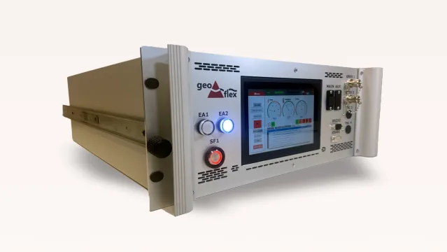
For even higher performance, Geoflex also offers a fully automated GNSS base station, which self-calibrates to its exact location making it ideal for RTK ready applications like robotic harvesting or precision seeding.
Precision Agriculture use cases with UAVs and Robots
- Observation drones use GNSS and multispectral imaging to detect plant stress, disease, and nutrient deficiencies early.
- Spraying drones deliver targeted treatments with reduced chemical use, lowering environmental impact and limiting operator exposure.
- Autonomous farm robots fuse data from GNSS, vision, and lidar for accurate movement and tool deployment enabling hoeing, weeding, or harvesting with minimal human input.
Receiver-Agnostic and Developer-Friendly
Geoflex’s correction service is fully compatible with most GNSS receivers on the market, thanks to support for the RTCM standard. This means system integrators and OEMs can deploy Geoflex without vendor lock-in.
Whether you’re building an RTK-enabled implement, a robot for vineyards, or an autonomous drone, Geoflex offers:
- Correction Data Stream (GFX Stream)
- Positioning Engine SDK for embedded development
- White-labeled solutions for fast go-to-market
This flexible offering empowers partners, VARs, and ag-tech developers to create cutting-edge solutions quickly and cost-effectively.
Key Benefits
Centimeter-Level Accuracy Worldwide
No base station needed, no dead zones
Scalable to All Farm Sizes and Locations
Works the same in Europe, Africa, Asia, or the Americas
Supports UAVs, Tractors, and Robots
Enables automation across all stages of farming
Receiver-Agnostic
Compatible with most GNSS hardware via RTCM standard


