Accurate and resilient positioning in the battlefield
In modern warfare and security operations, precise sub-meter positioning of personnel, vehicles, and assets is mission-critical. Situational awareness, fire coordination, and asset tracking all rely on high-integrity location data that underpins every tactical decision.
The rise of tactical drones in the air, on the ground, and at sea has made secure and accurate positioning even more essential. From autonomous UAV missions to GPS-guided artillery, today’s battlefield demands geolocation technologies that remain reliable—even in contested environments.
But traditional GNSS cannot meet these operational requirements. It struggles with stringent Target Location Error (TLE) thresholds such as CE90 CAT 1 (<6 m) and is highly vulnerable to jamming and spoofing, which compromise both accuracy and trust.
Geoflex overcomes these limitations with hypergeolocation technology that delivers accuracy, resilience, and availability—empowering defense and intelligence forces to operate with confidence, anywhere.
Defense & Security Operations
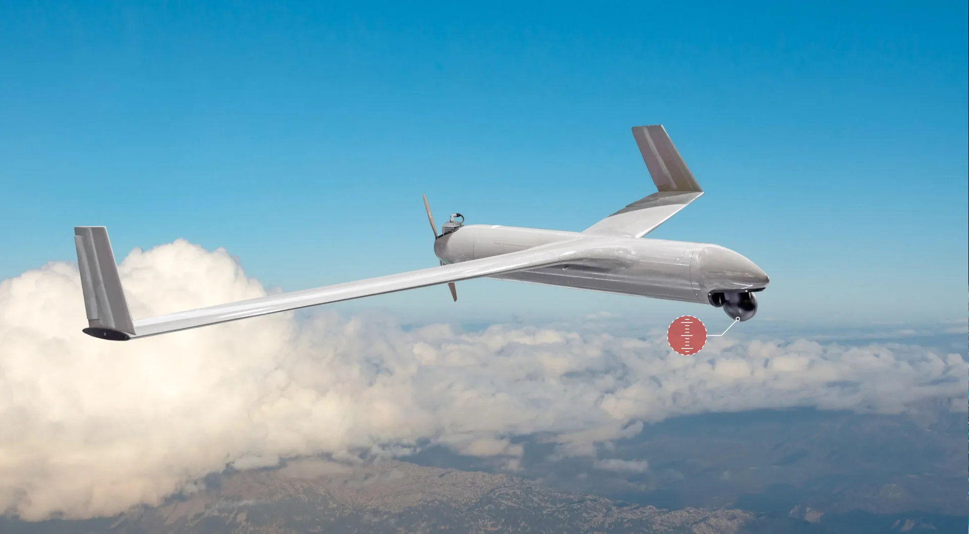
Unmanned systems (UAVs, UGVs, USVs) are now indispensable for missions that demand resilient, high-precision navigation—even in degraded or denied environments.
Geoflex strengthens multi-constellation GNSS by correcting satellite errors and countering interference threats such as jamming and spoofing. The result: mission-critical platforms that operate with trust, accuracy, and continuity.
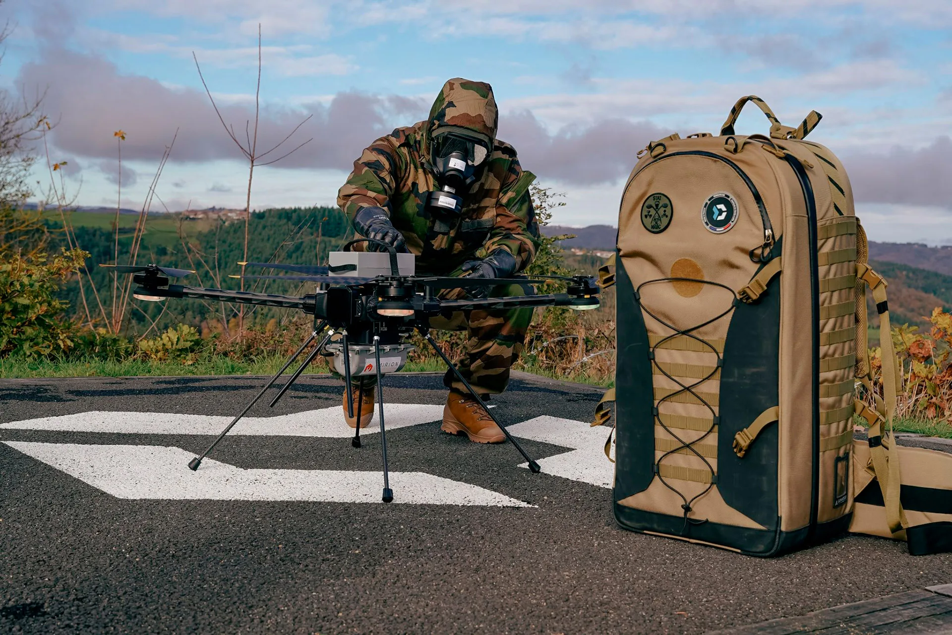
In partnership with Hexadrone, Geoflex equipped the Tundra 2 drone with integrated GNSS corrections as an option. This enables centimeter-level, real-time positioning—fully autonomous and ready for sensitive missions such as:
- ISR (Intelligence, Surveillance, Reconnaissance)
- ISTAR (Target Acquisition)
- SIGINT (Signals Intelligence)
Open & Flexible for Battlefield Integration
Geoflex is compatible with most GNSS receivers that provide raw measurement data, ensuring seamless deployment across diverse defense platforms.
Maximise GNSS. Minimise risk.
- Detect jamming & spoofing, satellite by satellite.
- Reject compromised signals and stay operational.
- Map interference and take targeted action.
Global, Resilient, Military-Grade Technology
Geoflex goes beyond GNSS corrections to deliver strategic-level positioning assurance:
- Jamming & Spoofing Detection
GNSS corrections include satellite positions and covariance metadata, enabling real-time anomaly detection by cross-checking satellite behavior against local observations. - Sensor Fusion Ready
Corrections integrate seamlessly with IMUs, odometry, and other sensors to provide hybrid positioning resilience—critical in GNSS-degraded or denied environments. - Global, One-Way & Anonymous
Operating worldwide and across all communication channels (civil or military), Geoflex delivers corrections in a one-way flow, ensuring zero visibility of user location or mission context. - Cybersecure & Sovereign
Developed from CNES space agency research and operated entirely under French governance, Geoflex infrastructure meets the highest cybersecurity standards for defense and intelligence applications.
Key Benefits
Resilience Against Jamming & Spoofing
Secure location data in contested environments
Interoperable & Scalable
Compatible with standard protocols and defense systems
Global Availability
Accessible anywhere, regardless of infrastructure
French Sovereignty & Compliance
Developed and operated under French authority and standards


